Description
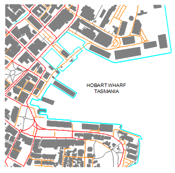
A map of Hobart Wharf, Tasmania – the Sullivans Cove waterfront drawn as layered CAD linework with building footprints solid, road network in colour-coded linework and the wharf edge traced in cyan. A real piece of urban mapping as a reusable drawing.
Use it as a base plan for Hobart waterfront studies, a specimen of CAD mapping style, or reference linework for urban design presentations. The Australia outline and world map on this site zoom the context out. A free DWG download.