Description
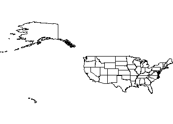
A map of the United States drawn as CAD linework with every state boundary – the lower 48 plus Alaska and Hawaii positioned alongside, all native DWG geometry that can be trimmed, hatched, labelled and recoloured like any drawing object.
Use it on location plans for US projects, logistics and network diagrams, presentation cover sheets and infographic artwork exported from CAD. The world map on this site covers the global view. A free AutoCAD DWG file download for any DWG-compatible software.