Description
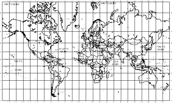
A complete world map drawn as CAD linework on a Mercator-style projection – country borders, coastlines and a full latitude/longitude graticule, with the oceans labelled. Everything is native DWG geometry (no image references), so it plots cleanly at any size and can be trimmed, hatched or recoloured like any other linework.
Use it on cover sheets, location plans for international projects, shipping and logistics diagrams, or as presentation background linework. Combine it with a north point and scale bar from this site to finish the sheet. A free AutoCAD DWG file download.